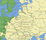
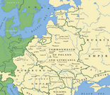
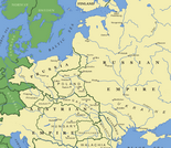
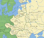
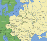
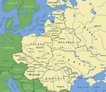
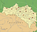
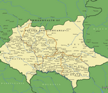
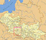
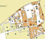
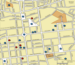
+ Advanced Search
  • HOME
  • ABOUT
  • GALLERIES
    • Photos
    • Audio
    • Video
    • MAPS
  • ARCHIVAL COLLECTIONS
    • Browse Collections
    • Search Collections
  • EXHIBITIONS
  • FOR RESEARCHERS
    • What's On This Web Site
    • Points of Entry
    • FAQs
    • Other Resources
  • HISTORY OF POLISH JEWRY

Maps

The following maps have been drawn from the map gallery of The YIVO Encyclopedia of Jews in Eastern Europe. Some of the maps presented here have interactive features that work only on the Encyclopedia website. Please explore them more fully at http://www.yivoencyclopedia.org/maps.aspx.
Eastern Europe, 1600.
Eastern Europe, 1740.
Eastern Europe, 1815.
Eastern Europe, 1923.
Eastern Europe, 1945.
Eastern Europe, 2000.
Galicia. Boundaries shown are ca. 1914
Gzeyres takh vetat. Jewish communities affected, 1648–1649.
Jewish councils of Crown Poland, eighteenth century. (Adapted from material provided by Judith Kalik)
Kraków. The Jewish district at the end of the eighteenth century.
Kraków. Location of the nineteenth-century Jewish district on a modern map.
Łódź, 1939.
  •  
  • 1 of 2
  • ››
© 2014 YIVO Institute for Jewish Research
  • Contact
  • Credits
  • Sponsors
  • Terms of Use
  • Privacy Policy